Choose the layers.
Check the design’s file formats, layer arrangement and material guidance. Plan the colors before assembly so that streets, water and landmarks remain easy to read.
City skylines & maps / Digital laser-cut files
Turn a favorite city into layered wooden art. Explore laser-cut files for landmark skylines and street maps, from London and New York to Paris, Rome and Istanbul.
Digital files · Cut and assemble with your own material
Five city skylines, built from overlapping silhouettes. Choose a familiar view and make the layers your own.
05 designs
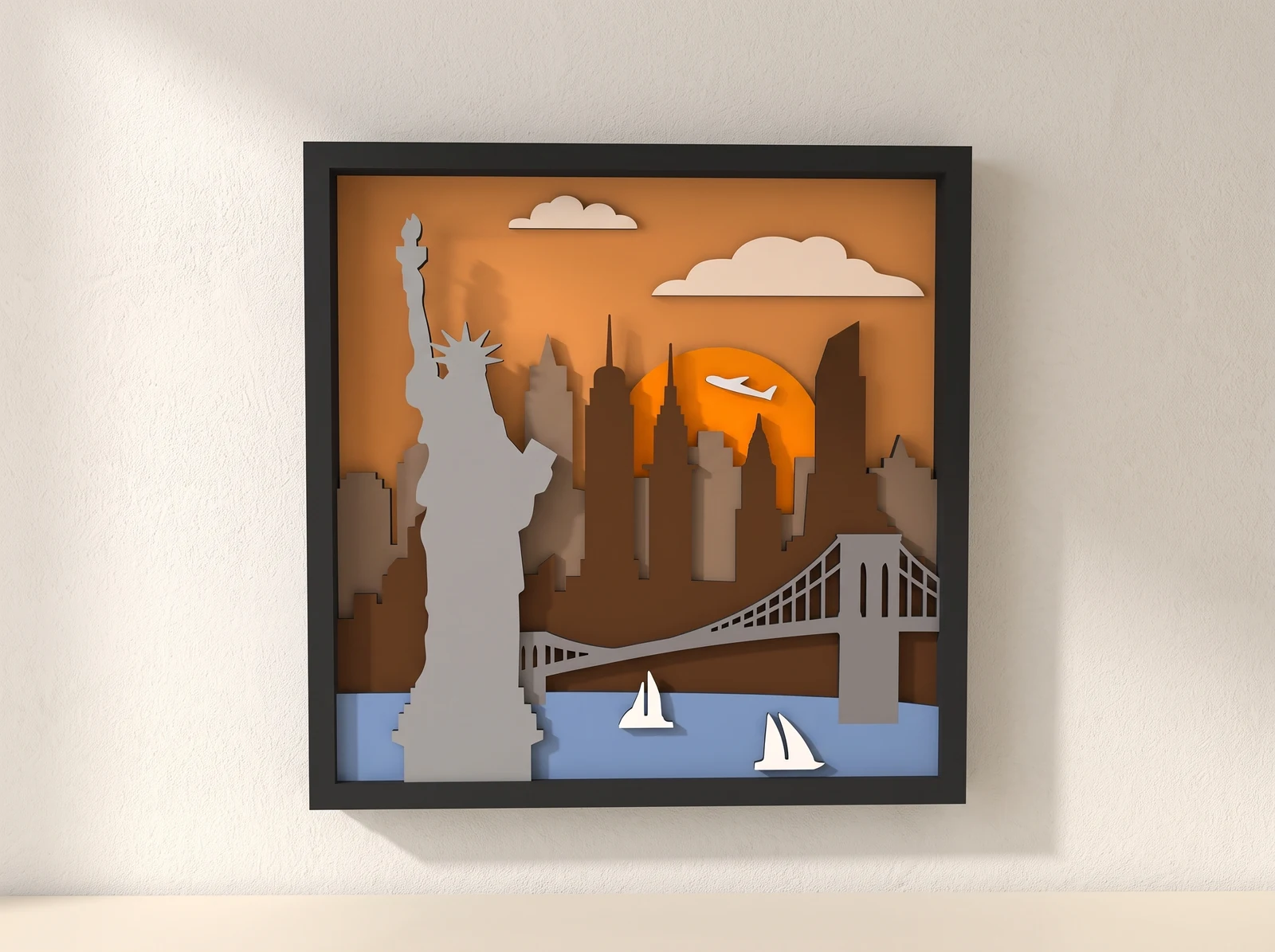
01 / Layered skyline
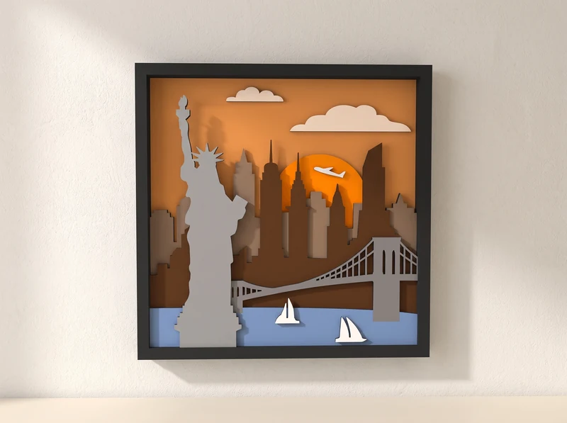
The Statue of Liberty stands in front of a skyline of towers, with a suspension bridge and small sailboats crossing the foreground.
Explore the design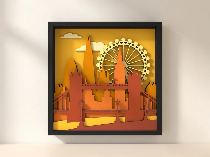
02 / Layered skyline
Big Ben and the London Eye rise behind a bridge. The landmark silhouettes build a city scene from overlapping cut layers.
Explore the design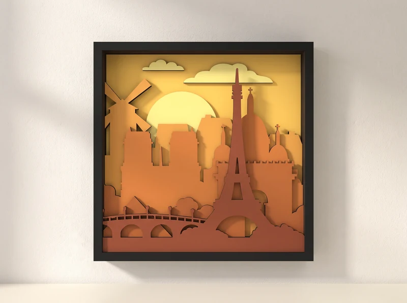
03 / Layered skyline
The Eiffel Tower fills the center of this framed scene. A bridge, rooftops and a balloon sit at different depths around it.
Explore the design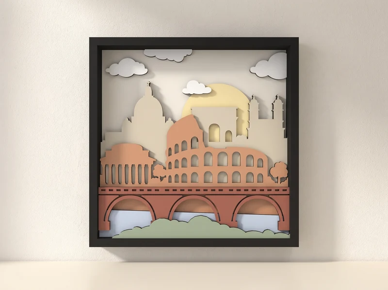
04 / Layered skyline
Rows of arches define the Colosseum above a bridge. Pale background layers give the buildings a softer outline.
Explore the design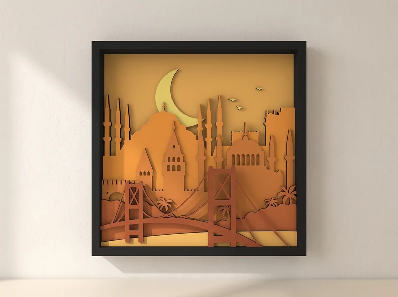
05 / Layered skyline
Minarets and domes rise beneath a crescent moon. A bridge stretches across the lower layers of the city scene.
Explore the designEleven street maps, from dense city grids to winding rivers and coastlines. Open a design to check its available versions.
11 designs
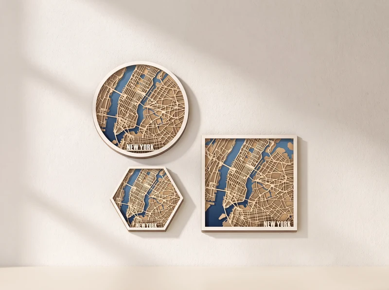
06 / Layered street map
A dense street network runs between blue waterways. The preview shows the city in circular, hexagonal and square compositions.
Explore the design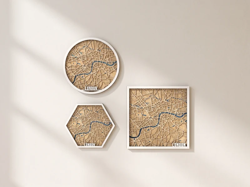
07 / Layered street map
The river winds through a close network of streets. Three different outlines frame the same city from above.
Explore the design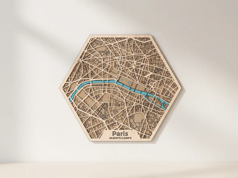
08 / Layered street map
A blue ribbon of river cuts through the street pattern. The hexagonal outline keeps the map compact around the center.
Explore the design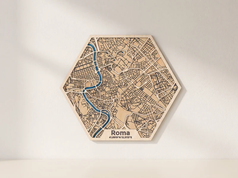
09 / Layered street map
The river curves down through a tightly packed street pattern. A hexagonal border surrounds the layered city map.
Explore the design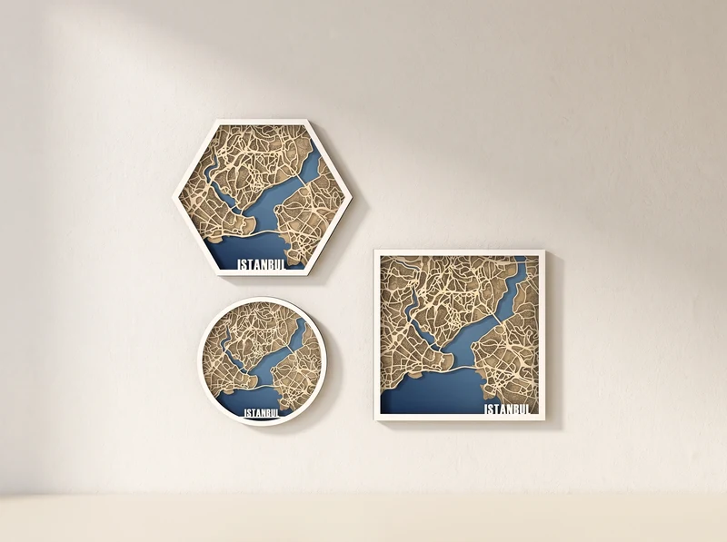
10 / Layered street map
Wide blue waterways separate the city’s street networks. Circular, hexagonal and square previews show different views of the shoreline.
Explore the design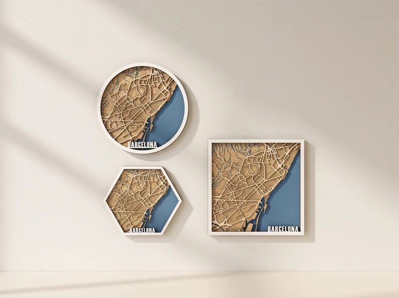
11 / Layered street map
The city’s street pattern meets a broad blue coastline. The coast forms a clean edge beside the cut street layers.
Explore the design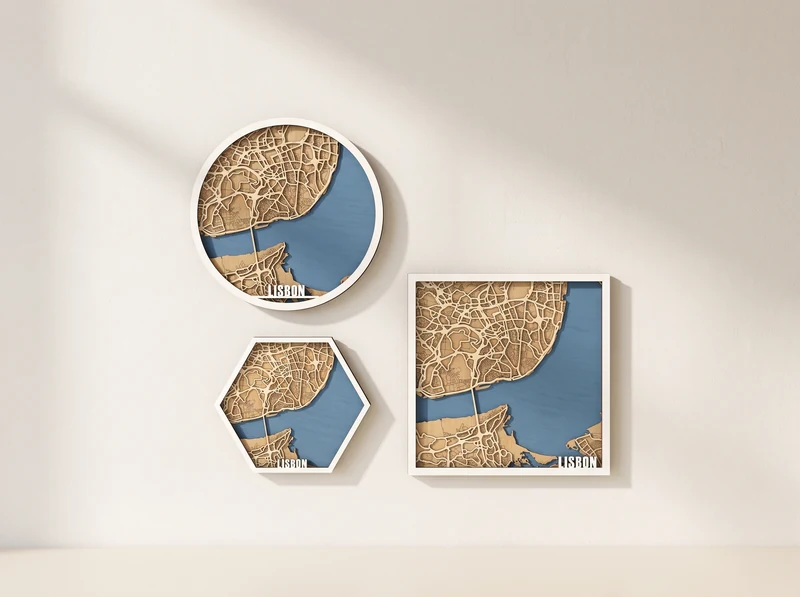
12 / Layered street map
A broad blue estuary opens beside the street network. The shoreline gives each of the three map outlines its own balance.
Explore the design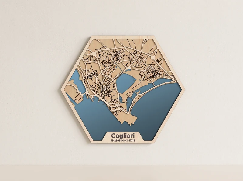
13 / Layered street map
Streets spread around the harbor and stretches of blue water. The hexagonal composition follows the city out toward the coast.
Explore the design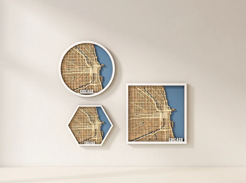
14 / Layered street map
A regular street grid meets the lakefront. The blue water creates a clear boundary along one side of the map.
Explore the design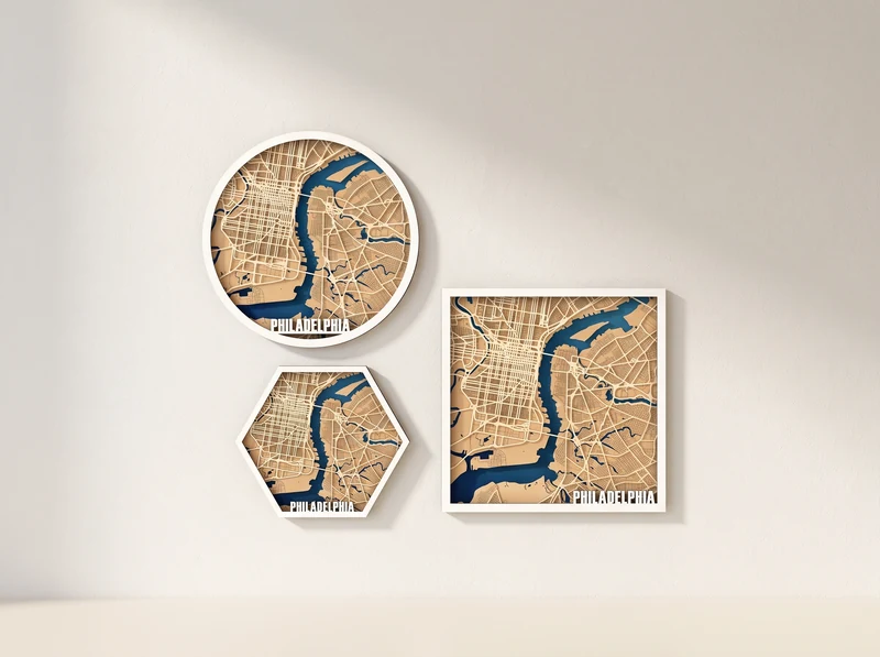
15 / Layered street map
Blue waterways cut through a detailed street network. Compare the circular, hexagonal and square compositions in the preview.
Explore the design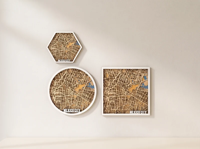
16 / Layered street map
A dense grid of streets spreads across the full design. The preview shows three outlines around the same city pattern.
Explore the designFrom file to wall
A city map can have very narrow streets and bridges. Plan the material, size and finish before the first cut.
Check the design’s file formats, layer arrangement and material guidance. Plan the colors before assembly so that streets, water and landmarks remain easy to read.
At the 3 mm material scale, no individual part exceeds 290 mm. The full layout can be larger. Rescaling changes part sizes and fine details, so check the result against your cutting area.
Test the finest streets or smallest cutouts on your material. Check that narrow connections survive the cut, then keep the layers in order while assembling the artwork.
These are digital designs for laser cutting. You cut the layers from your own material and assemble the artwork. The images show example finishes; physical artwork, frames, paint and material are not supplied.
Skylines build a scene from landmarks, rooftops and other silhouettes. Street maps show the city from above, with roads and waterways forming the pattern. Both use stacked cut layers to create depth.
The previews show different compositions, but the available shapes vary by design. Check the individual page for its included versions. Rome, Paris and Cagliari are shown here as hexagonal maps.
Open the specific design page to check its file formats, material guidance, layer arrangement and included assembly information. These details vary across the collection.
You can choose your own colors for the material and layers. Resizing also changes narrow streets, bridges and small cutouts, so check those details before cutting. Any slots or tabs scale with the rest of the drawing; test the fit if the design uses them.
These are the city designs shown in the collection. A custom address, changed map area or updated street network is not included unless the individual listing explicitly offers it.